Flagship 04 · Scan-to-BIM
The building as built, differenced against the building as drawn
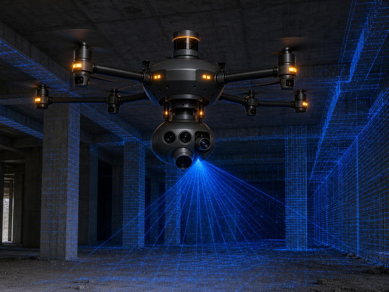
One indoor flight produces a registered point cloud of the whole floor. The model compares it to the design: dimensional deviation, floor flatness and levelness, ceiling heights, clearances and accessibility compliance — as numbers, per room, on the day it still costs nothing to move.
The system
Fly → register → difference → deviation map
Fly
A SLAM drone walks the floor plate autonomously — no targets, no tripod moves, no crew.
Register
The point cloud is tied to site control so every measurement shares one coordinate system.
Difference
The as-built cloud is subtracted from the design model, surface by surface.
Deviation map
A colour deviation map plus a per-room number list, ranked by how far out it is.
Accessibility · clearances
Slopes and clear widths that fail at close-out fail today too
Accessibility is geometry, and geometry is exactly what a point cloud is good at. The rule engine queries the as-built cloud for ramp running and cross slopes, landing sizes, threshold heights, clear door and corridor widths at the narrowest point, turning circles and reach ranges — and returns the failing dimension, not a maybe. Maintenance clearances around panels and equipment run through the same query.
- RampsRunning and cross slope, landings
- Clear widthsDoors and corridors at the pinch
- ThresholdsHeight and bevel
- Turning spaceCircles and T-turns per room
- EquipmentCode clearance at panels
Cost of not catching it
An accessibility dimension found at close-out is demolition of finished construction plus a certificate of occupancy on hold. Found off a scan during rough-in, it is a wall that has not been framed yet. Dimensional rework is a large share of the roughly $65B a year US construction spends redoing work it already paid for.
Coverage
Every dimensional check, and the sensor that makes it
| Inspection | What is verified | Sensor |
|---|---|---|
| Dimensional deviation | As-built geometry differenced against the design model, room by room | LiDAR + BIM comparison |
| Room dimensions | Every room measured against the architectural plan | LiDAR |
| Floor flatness / levelness | FF and FL surface metrics across each pour area | LiDAR surface model |
| Slab elevation | Finished floor elevation against site control, by grid | LiDAR + control |
| Ceiling heights | Clear height under structure, duct and sprinkler at every point | LiDAR |
| Clearances | Maintenance and code clearances around equipment and panels | Point cloud query |
| Door & corridor widths | Clear widths measured at the narrowest point | LiDAR |
| Accessibility compliance | Ramp slopes, landing sizes, thresholds, reach and turning radii | LiDAR + rule engine |
| Wall plumb & straightness | Lean and bow mapped across each wall surface | LiDAR deviation map |
| Column locations | Structure on the gridline, or the offset in eighths | LiDAR + control |
| Openings | Rough opening size and position against the schedule | LiDAR + RGB |
| Progress by area | Percent complete per zone against the schedule, by date | RGB + point cloud |
| As-built handover | A registered, dated point cloud and model for the owner | LiDAR archive |
Sample output
Deviations ranked by how much they will cost to leave
| Location | Checked item | Spec | Drone measured | Status |
|---|---|---|---|---|
| L4 · Room 402 | Clear ceiling height | 9'-0" min | 8'-7¼" under duct | Fix now |
| L1 · Ramp A | Ramp running slope | 1:12 max | 1:9.6 over 11 ft | Fix now |
| L2 · Corridor B | Clear corridor width | 5'-0" | 4'-9⅜" at column | Fix now |
| L3 · Pour 2 | Floor flatness | FF 35 | FF 22 over 2,400 sq ft | Fix now |
| L4 · Mech 401 | Equipment clearance | 36" in front of panel | 31" | Review |
| L2 · Col. C3 | Column offset from grid | On gridline | 1⅛" east | Review |
| L1 · Lobby | Finished floor elevation | +0'-0" | +0'-0⅛" avg | Pass |
Illustrative report format. Each row links back to the point in the cloud, so anyone can re-measure it without going back to site.
Sonar · ultrasonic ranging
Laser and LiDAR are the primary measurement layer, but they lose confidence on dark, wet, dusty or mirror-like surfaces and at very short standoff. Sonar fills that gap: ultrasonic pulses resolve the small stuff — millimetre-scale gaps, offsets, thin clearances and shallow voids — in low light, through airborne dust and against surfaces a laser skips off. On this page it is what confirms short-range clearances and tolerance gaps that a point cloud alone renders as noise.
What you’ll receive
Scan-to-BIM as-built record — registered point cloud (LAS/E57 or RCP) + textured 3D mesh (OBJ/FBX, web-viewable GLB) + PDF deviation report against the model.
Open formats only: GeoTIFF · LAS/LAZ · E57 · OBJ/FBX · DWG/DXF · LandXML · PDF · CSV. No proprietary viewer required.
What it costs when nobody's watching
The gap between as-drawn and as-built has a price, and it is already being paid.
$15.8B / yr
industry-wide cost of poor data and system interoperability.
Source: NIST GCR 04-867 / NIBS (2004) — historical baseline, not current-year
48% · 26%
of rework attributed to poor collaboration, and to trade-to-trade miscommunication specifically.
Source: PlanGrid / FMI, Construction Disconnected (2018, ~600 professionals)
10% vs 50%
completion point at which teams running continuous capture find problems, against the traditional discovery point.
Source: OpenSpace / Commodore Construction case data — vendor case study, not independent research
~9% → 1–2%
reported fall in design- and coordination-related rework as a share of project cost since the 1990s.
Source: PlanRadar synthesis of CII and peer-reviewed data (2025) — secondary synthesis
~$31B / yr
rework tied specifically to bad, missing or wrong project data.
Source: PlanGrid / FMI, Construction Disconnected (2018)
$60.1M · 12.5 months
average dispute value and duration; the most common root cause Arcadis records is failure to understand or comply with contract terms.
Source: Arcadis, 2025 Global Construction Disputes Report
Government-grade sources (BLS, OSHA, NIST/NIBS) are cited as published. Industry research (Arcadis, FMI/Autodesk, CII, NSC) is survey- and estimate-based. Vendor case studies and vendor pricing pages are labeled where used and should be read as documented examples, not industry averages.